Extreme Heat Resiliency
BREZE — Building Resilient and Empowering Zones for Everyone
Heat is the leading weather-related killer in the United States.
As extreme heat becomes more frequent across the Inland Empire, Waterkeeper launched Building Resilient and Empowering Zones for Everyone (BREZE) to help communities stay safe.
BREZE is a community asset-mapping project that identifies existing and potential outdoor spaces that can serve as natural cooling areas. By expanding access to these spaces, the program aims to support our neighbors, especially those facing economic and systemic barriers to air conditioning and other cooling resources.
BREZE is funded through the California Governor’s Extreme Heat and Community Resilience Program.
Outreach and Community Workshops
To better understand the community’s experiences and desired improvements to outdoor spaces, IE Waterkeeper is partnering with the equity-based nonprofit Center for Community Action and Environmental Justice to host 10 workshops across 10 Inland Empire cities.
These interactive workshops will empower Inland Empire residents to engage in environmental justice, understand local water issues, discover cooling spaces, and take action to protect their environment.
Ready to share your voice now? Click here to take a short survey to share your experience and help IE Waterkeeper defend our community against extreme heat.
Upcoming Events
TBD
Mapping the Inland Empire
ArcGIS Interactive Map
IE Waterkeeper has partnered with Stantec to create an ArcGIS map highlighting natural cooling sites across the Inland Empire. The map will feature swimming areas, parks, and other outdoor spaces that provide relief during extreme heat, while identifying underdeveloped parks with opportunities for improvement.
Subscribe to our email newsletter to be notified when the map launches.
Site Inspections
To build the map, IE Waterkeeper staff and interns are surveying parks, waterways, and recreation areas throughout the Inland Empire. Each site is evaluated using a custom assessment that measures factors such as shade, water features, restrooms, accessibility, and other amenities that contribute to cooling.
Sites are scored based on their effectiveness as cooling locations. High-scoring sites will be featured on the map, while lower-scoring sites help identify opportunities for future improvements.
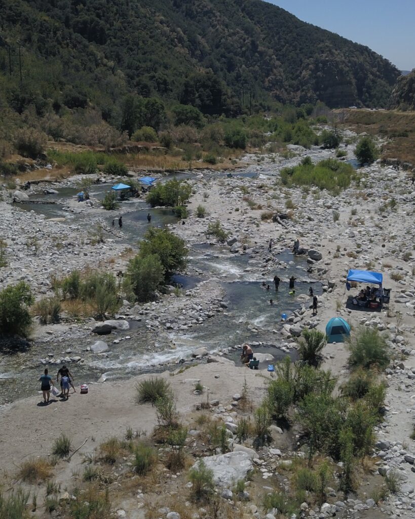
PHOTO: Community members recreating in Mill Creek
Water Quality Monitoring
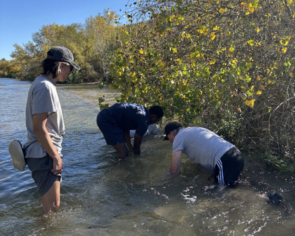
PHOTO: IE Waterkeeper team members sampling surface water for PFAS
Safe access to waterways starts with clean water.
IE Waterkeeper monitors water quality at recreational waterways using EPA-approved IDEXX testing methods, with a focus on E. Coli levels in freshwater.
We also conduct human-use surveys, EPA Sanitary Surveys, and site inspections to provide the public with reliable, accessible information about local waterways and recreation areas.
Data from two pilot water quality monitoring pilot programs are available below.
The Riverwatch Program collects data on how people use popular rivers and creeks throughout the Inland Empire. This information helps local agencies prioritize investments that improve waterway safety, access, and recreation.
In 2025, surveys were conducted at Lytle Creek near the Bonita Falls parking lot and at the Santa Ana River at Martha McLean Park and Santa Ana Regional Park.
From July through December 2025, IE Waterkeeper monitored bacteria levels at waterways in Lytle Creek, Riverside, Jurupa Valley, Upland, and Highland to help the public make informed decisions about freshwater recreation.
Testing for E. Coli and total coliforms found that most sites met California’s bacterial standards at least 83% of the time. The exception was the Santa Ana River at Martha McLean–Anza Narrows Park, which met standards 50% of the time.